Tuesday, October 15, 2013

Pine Forest - French Pass Trail

9.7.2013


Directions:
From Denver go south US Highway 285 over Kenosha Pass, take County Road 35 north from Jefferson to County Road 54 (Michigan Creek Road) and continue toward Georgia Pass.  Drive just over two miles past Michigan Creek Campground then you will see a flat area for you to park here. The trail head is somehow hidden but there is a small sing - Trail 651 on the left. No facilities available here. If you need to go to restroom, stop by at Jefferson before you turn to County Road 54. There are two mobile toilets behind the shops.


Start Elevation: 10,600
End Elevation: 12,046
Distance: ~7 miles round trip


Parking area
Nobody really knows the exact length of the trail. You may find varying numbers between 6 – 8miles round trip from different websites. I will take the median and give it 7.  The first half of trail is shady and easy. There were many mushrooms along the trail. If you are a mushroom expert, you can easily find enough mushrooms for your dinner. The second half can be considered as a cardio hike but still not too bad. The summit provides marvelous views of Boreas Mountain, Volz Mountain, French Gulch and Mount Guyot.    


Tons of Mushrooms along the trail

The trailhead sign - only visible after you stepped into the forest - take the one on the right

This is the only stream I saw along the trail

The climb begins after passing the meadow 

Almost vertical climb 

the flat area before reaching the summit

The small snow area before the summit

The end of the trail

the view from the summit

The view from the hill on the left of the summit


Tuesday, October 1, 2013

Mount Evans Wilderness - Abyss Trail


9.29.2013 Fall Color Hike
The main purpose of this hike was to see the fall color changes. If you want to have a fair easy hike with a gorgeous colors and not too far away from the city, this is a good choice.

I will have to come back to add more details when I have more time. There were still many green leaves so I figured the color would reach the peak this week, hopefully before the snow/rain arrives. So hurry up, go out there for the amazing view!


Friday, August 9, 2013

Staunton State Park - Staunton Ranch Trail

8.4.2013
Staunton State Park is the newest state park in Colorado. It became the state park and opened to the public on May 18th 2013. The direction I got from the Park's website. 

From Denver
Take US Highway 285 south to Shaffers Crossing, about 6 miles west of Conifer.
Turn north on Elk Creek Road and follow the signs 1.5 miles to the park entrance. 

Mariposa  Lily
It is very easy to follow the sign to get to the park from 285. There are two parking lots after you pass the park entrance. The day pass costs $7.00 per car. We used the upper parking, where is closer to Staunton Ranch Trail we were going to hike. Restrooms are available at the parking lot. See the trail map below for more details.  Trail Map from the Park's website

Wild Mushrooms
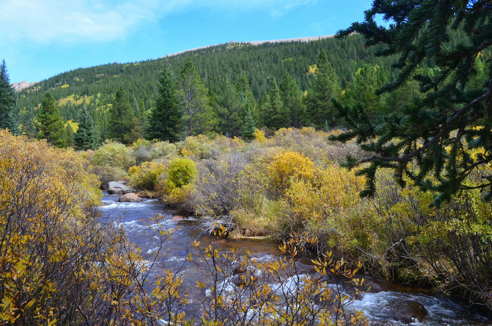
The trail we did is Staunton Ranch Trail, 3.3 miles round trip. The trail was a bit crowded with hikers and bikers. We got on the Climbing Access for some climbing, which added another 0.9 mile to our hike. The climb access is for hikers only so it is more quiet with less traffic. There were many wild raspberries right after we passed the rocks. Wildflowers were also blooming along the trail. Overall it was a nice and easy hike to me, although it is rated as 'Moderate' officially. 
Wild Raspberries
Climbing Access
Picking the Raspberries
Narrow rocky path on Climbing Access

Sunday, July 21, 2013

Herman Lake - Wildflower Hike

7.20.2013
I would like to report that the wildflowers along Herman Gulch Trail are in their peak. If you don't want to miss the gorgeous view, plan to get there as soon as possible. It is a well known trail with a fair easy access.
Direction: take I70 west from Denver and Exit 218. The trailhead is on the right after the exit. There is map and restroom at the trailhead and the parking is roadside parking with limited space.

Elevation Change: 10,400 feet - 12,000 feet

In and out trail and the one way distance is 2.5 miles


Thursday, July 18, 2013

Europe Impression - Adventure in Alps Switzerland

the famous Staubbach waterfall didn't impress us
In the morning, we took the cable car to Grutschalp(4379 ft) then the train that rides among the mountains and forests to get to Murren (5,374 ft).The end of this route is Schilthorn(9,744 ft). But the highest mountain is Jungfrau with the peak at 13,642 ft. The view is definitely similar to what I have seen in Colorado. We hiked a couple miles in Murren on the well maintained concrete trail. Met a group of people from Fort Collins and Castle Rock…it was so nice to finally hear American English again!
Hotel Balcony
Overlook village from the mountain
Our plan was to go down to Gimmelwald then hike to Trummelbach to check out the waterfall there then take the bus back to Lauterbrunnen. While we were waiting for the cable car to go down to Gimmelwald, we saw the paragliding brochure and were so impressed by the picture of an old lady flying in the sky. We decided that paragliding could be the highlight for our trip. Two pilots John and Joe came to the station to meet us with all the equipment in a huge backpack. The route we went is 15 minutes Murren Waterfall Flight. We jumped out of a hill and found ourselves soaring in the sky almost right away. Flying in the sky in a perfect weather was bliss. At that moment, I felt like I was a bird that really enjoyed the freedom and the panoramic view of the mountains, rivers and meadows. It was a great experience although I did have upset stomach from the turns during the landing. The pilot takes photo and video for the fly and charge extra money for them. If you don't fear of the height, you actually can take pictures or video by yourself while enjoying the fly and the view.
Hotel in Murren
We landed at Stechelberg where we can take the bus back to Lauterbrunnen. But the schedule seem work out well for us…it turned out a very nice hike for us to sock really enjoy the village view along the creek, a few waterfalls(this area claims to have 72 waterfalls) and the nature in the mountains.You don’t need to go to Switzerland to experience paragliding though. I have heard people saying the paragliding from Lookout Mountain, Colorado is awesome! I think the difference between Alps and Rockies in terms of nature view is Alps has the carpet-like meadow/lawn and the blooming flowers in the villages. But we have more wild animals, wildflowers and high country lakes! Both areas are the gifts from the nature mother. Just in case you like to dine out at the mountain top surrounding by the snowy mountains, there are 6 restaurants on the "Top of Europe" - Jungfraujoch (11,333 ft). It might be an once in a life time experience.
Pilot is getting ready for the take-off
Jumping down from the hill(1700 meter) - Paragliding take-off

Flew over the forest


waterfall 


Flying like a bird


Waterfall without much water

Typical mountain view

Flower and flower

Swiss Architecture