
 From Denver go south US Highway 285 over
Kenosha Pass, take County Road 35 north from Jefferson to County Road 54
(Michigan Creek Road) and continue toward Georgia Pass. Drive just over
two miles past Michigan Creek Campground then you will see a flat area for you
to park here. The trail head is somehow hidden but there is a small sing - Trail
651 on the left. No facilities available here. If you need to go to restroom,
stop by at Jefferson before you turn to County Road 54. There are two mobile toilets
behind the shops.
From Denver go south US Highway 285 over
Kenosha Pass, take County Road 35 north from Jefferson to County Road 54
(Michigan Creek Road) and continue toward Georgia Pass. Drive just over
two miles past Michigan Creek Campground then you will see a flat area for you
to park here. The trail head is somehow hidden but there is a small sing - Trail
651 on the left. No facilities available here. If you need to go to restroom,
stop by at Jefferson before you turn to County Road 54. There are two mobile toilets
behind the shops. Start Elevation: 10,600
End Elevation: 12,046
Distance: ~7 miles round trip
 |
| Parking area |
 |
| Tons of Mushrooms along the trail |
 |
| The trailhead sign - only visible after you stepped into the forest - take the one on the right |
 |
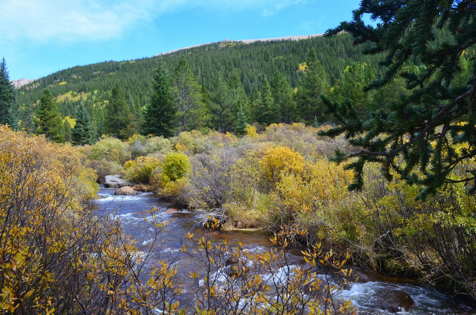
| This is the only stream I saw along the trail |
 |
| The climb begins after passing the meadow |
 |
| Almost vertical climb |
 |
| the flat area before reaching the summit |
 |
| The small snow area before the summit |
 |
| The end of the trail |
 |
| the view from the summit |
 |
| The view from the hill on the left of the summit |


